Know what needs attention across every acre — same day.
Upload your drone flights. LandOS returns a field-wide report showing where problems are, what they are, and what to do next. Every field is evaluated the same way. Every flight adds to your record. Nothing gets lost between passes.
See what comes back from a single flight.
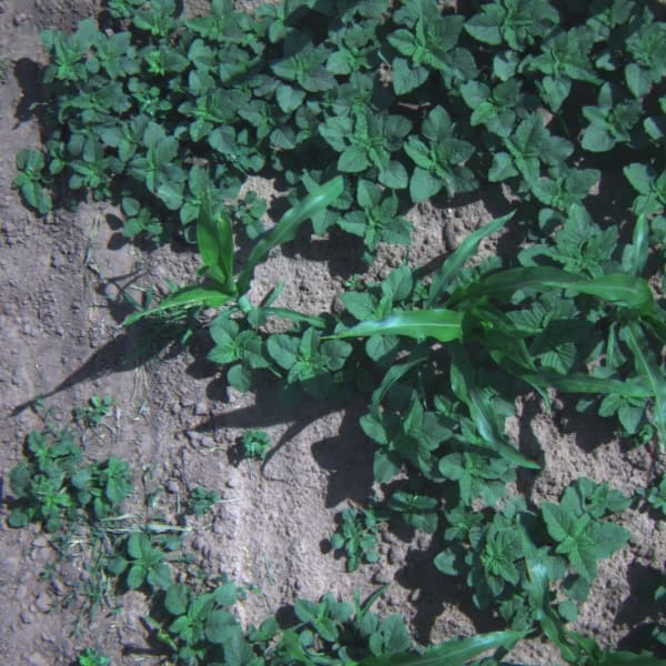

Drag to reveal the field map LandOS returns from one drone flight.
Overlays
- Weed pressure
- Standing water
- Nutrient stress
Field breakdown
Top actions
- Spray weed clusters
- Inspect drainage
- Scout nutrient zones
This is returned for every field, every time.
You can't see the whole field from the ground.
Scouting covers a fraction of your acres. By the time issues are visible, the window for a low-cost fix has closed.
Scouting can't keep up.
Your agronomist walks 20 acres a day. Your operation has 2,000. Ground checks miss the pattern.
The imagery sits unused.
You already have the flights. What's missing is a system that tells you where to go and what to do.
Memory leaks across passes.
By harvest, nobody remembers which quadrant had the drainage failure or the weed flush. The record is gone.
What you get
A field report you can act on immediately.
Same-day return on every flight you upload.
Full-field condition map
Every part of the field reviewed and categorized.
Where to go first
Field broken into sections so your team knows where to act.
Clear next steps
Each issue tied to an action — replant, drainage, spray, or monitor.
Coverage
Covers the issues that impact yield and cost.
From missed rows and drainage problems to weed pressure and nutrient stress — the system flags what matters and expands as your operation needs change.
Platform
Your field data, in one place.
Every flight, every map, every report stays accessible.
Compare across passes. Track changes over time. Make decisions with full context.
See LandOS on one of your fields.
Send us a recent flight — or a folder of RGB tiles. You get a field-wide map and a per-section action list from your first upload.